The Ultimate Guide to UAV Applications in 2026: Transforming Industries with Drones
Unmanned Aerial Vehicles (UAVs), commonly known as drones, are transforming industries worldwide. From precision agriculture and infrastructure inspection to aerial photography and emergency response, UAV technology is becoming an essential tool for businesses and governments alike.
This comprehensive guide explores the most important UAV applications in 2026, the industries benefiting from drone technology, and how advanced drone platforms are shaping the future of commercial operations.
1. Aerial Photography & Videography
One of the most recognized applications of UAVs is aerial photography and videography. Modern drones equipped with high-resolution cameras and stabilized gimbals enable users to capture cinematic footage from unique perspectives.
- Real Estate Marketing: Showcase properties with dynamic aerial views.
- Film & Media Production: Capture smooth tracking shots and panoramic scenes.
- Tourism Promotion: Highlight landscapes, resorts, and attractions.
As camera sensors improve and stabilization systems become more advanced, drones continue to dominate the aerial imaging industry.
2. Precision Agriculture & Smart Farming
Agricultural drones are revolutionizing farming practices through precision agriculture. UAVs equipped with multispectral and thermal sensors allow farmers to monitor crops efficiently and accurately.
Key Applications in Agriculture
- Crop Health Monitoring: Detect disease, nutrient deficiencies, and water stress.
- Targeted Spraying: Apply fertilizers and pesticides precisely where needed.
- Yield Prediction: Improve harvest forecasting through aerial data analytics.
Drone technology improves efficiency, reduces waste, and supports sustainable farming practices.
3. Infrastructure Inspection & Industrial Maintenance
UAVs provide safer and more cost-effective solutions for inspecting critical infrastructure such as:
- Power lines and substations
- Wind turbines
- Oil & gas pipelines
- Bridges and towers
Equipped with high-resolution cameras, LiDAR, and thermal sensors, drones detect corrosion, structural damage, and overheating components without exposing workers to dangerous environments.
4. Search & Rescue Operations
In emergency response scenarios, UAVs significantly improve response time and situational awareness.
- Thermal Imaging: Locate missing persons in low-visibility conditions.
- Disaster Assessment: Survey earthquake, flood, or wildfire damage.
- Rapid Deployment: Access difficult terrain quickly.
Drones help emergency teams save lives while reducing operational risks.
5. Drone Delivery & Logistics
Drone delivery systems are transforming logistics and last-mile transportation. UAVs can transport:
- Medical supplies to remote areas
- Emergency equipment
- E-commerce packages
As regulations evolve and battery technology improves, drone delivery networks are expanding globally.
6. Mapping, Surveying & 3D Modeling
Surveying drones capture high-resolution images that can be processed into accurate mapping data.
- Orthomosaic maps
- 3D terrain models
- Topographic surveys
- Construction progress monitoring
Compared to traditional surveying methods, UAV mapping is faster, more efficient, and cost-effective.
7. Environmental Monitoring & Conservation
Environmental researchers use UAVs to collect valuable data without disturbing ecosystems.
- Wildlife population tracking
- Forest monitoring
- Water quality analysis
- Climate impact assessment
Drones support sustainability efforts and environmental protection initiatives worldwide.
8. Security & Surveillance
Security agencies deploy drones for enhanced situational awareness.
- Border patrol monitoring
- Event crowd management
- Night surveillance with thermal cameras
Real-time aerial intelligence strengthens safety and operational efficiency.
9. Telecommunications & Aerial Connectivity
UAVs are increasingly used to provide temporary or supplemental wireless coverage in remote or disaster-affected areas.
- Emergency communication support
- Rural connectivity solutions
- Event-based mobile network enhancement
Drone-assisted networks are expected to play a larger role in 5G and future communication technologies.
10. Scientific Research & Atmospheric Studies
Researchers use UAVs to gather environmental and atmospheric data in challenging conditions.
- Air quality monitoring
- Storm tracking
- Volcanic activity observation
Drones provide safer and more flexible research capabilities compared to manned aircraft.
Types of UAV Platforms
Multirotor Drones
Ideal for inspection, photography, and short-range missions requiring stability and maneuverability.
Fixed-Wing UAVs
Designed for long-endurance missions such as large-area mapping and agricultural spraying.
VTOL & Hybrid Drones
Combine vertical takeoff capability with efficient forward flight, making them suitable for diverse commercial operations.
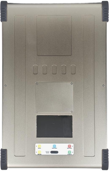
Challenges Facing UAV Technology
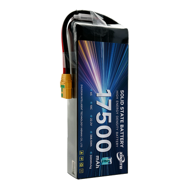
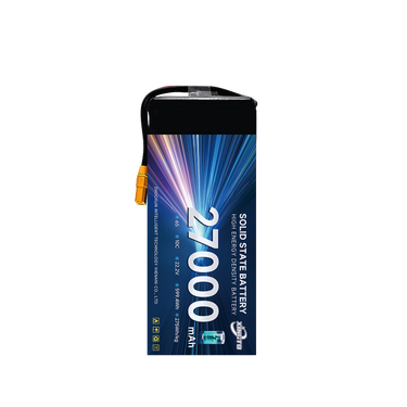
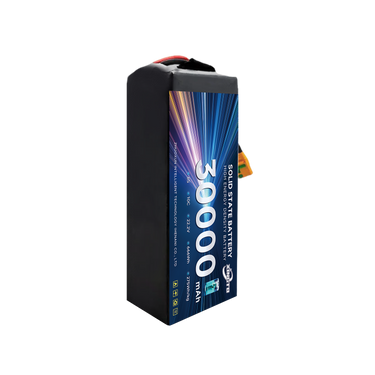
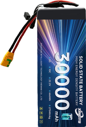
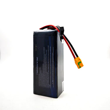
- Limited battery endurance
- Weather sensitivity
- Regulatory compliance requirements
Ongoing innovations in AI, battery systems, and autonomous flight are addressing these challenges.
Conclusion
UAV applications continue to expand across industries, improving efficiency, safety, and operational capabilities. From agriculture and infrastructure inspection to logistics and emergency response, drones are shaping the future of modern industry.
As technology advances, UAV systems will become even more intelligent, autonomous, and integrated into global business operations.